Sugarcane growers across Far North Queensland (FNQ) are gaining practical tools and localised data to help prepare for future floods and extreme weather events through a series of disaster resilience workshops.
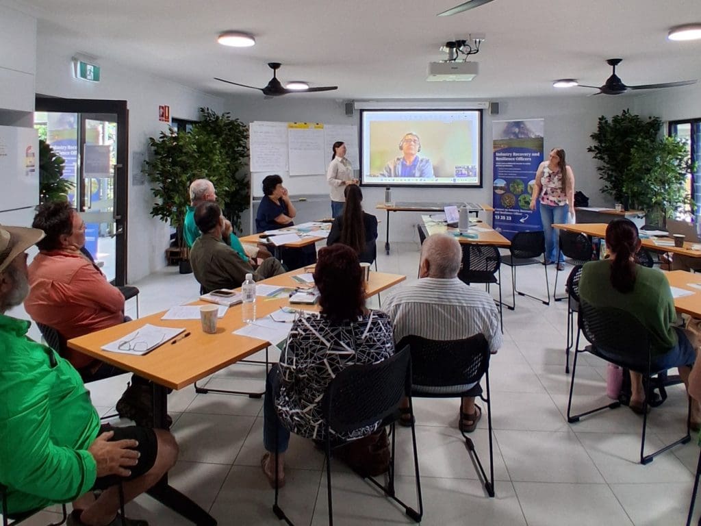
Delivered by the Department of Primary Industries as part of the Industry Recovery and Resilience Officer (IRRO) Program, and supported by CANEGROWERS, the workshops, held in Gordonvale and Tully explored how flood mapping and property planning can improve preparedness and decision making on-farm.
The workshops focused on providing growers with practical information they can use to better understand flood behaviour, protect infrastructure and plan for future climate variability.
The workshops featured presentations from representatives across government and regional organisations, including the Department of Local Government, Water and Volunteers, QRIDA, River Improvement Trusts and RAPAD, giving growers access to information about river restoration processes, recovery support and disaster assistance programs.
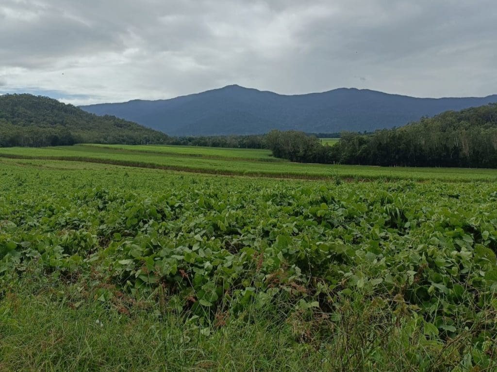
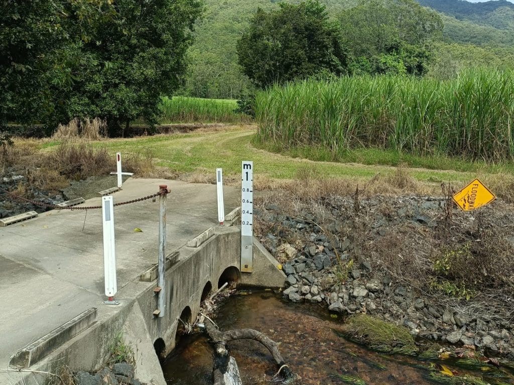
Researchers from James Cook University contributed to the workshops, presenting flood modelling developed for two demonstration farms located in Gordonvale and the Tully region. During dedicated workshop sessions, growers were shown how satellite imagery and hydrodynamic modelling can be used to map flood inundation, understand flood duration and identify how water moves across properties during major events.
Hydrologist Dr Ben Jarihani from James Cook University and the TNQ Drought Hub worked alongside the project team to deliver the workshops and provide growers with practical insights into flood behaviour and planning. JCU research assistants Tina Corradi and Amirabbas Abedini, supported flood mapping, modelling and workshop delivery.
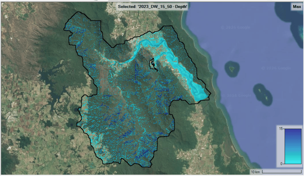
Amir developed and ran the HEC-RAS hydrodynamic models used during the workshops, generating detailed flood maps and modelling outputs to help demonstrate how floodwaters could affect farm operations. Tina contributed spatial mapping expertise, including environmental monitoring and GIS analysis, while the broader workshop team worked directly with growers to answer questions and discuss practical applications for individual farms.
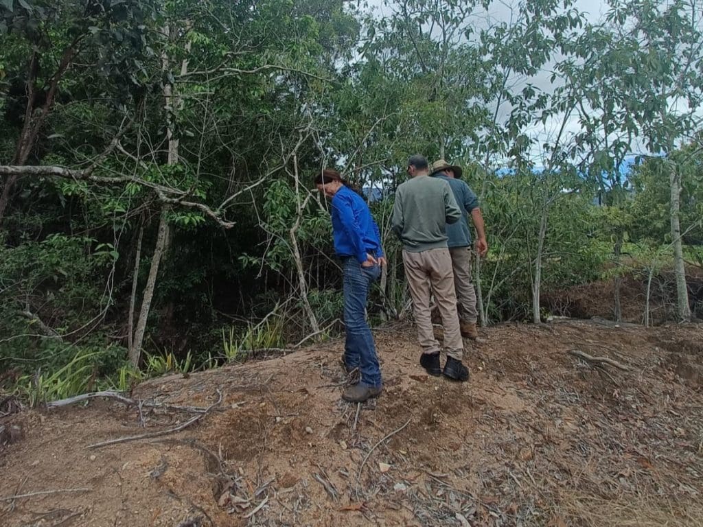
Growers also took part in hands-on property mapping activities, delivered by IRRO Sarah Stephens, using satellite imagery of their own farms. These sessions helped identify key infrastructure, irrigation systems and natural water flow pathways, while supporting the development of farm disaster management plans tailored specifically for FNQ cane farming systems.
Feedback from participants highlighted strong interest in using flood modelling as a future planning tool, reinforcing the value of combining local knowledge, science and technology to support more resilient farming businesses across northern Australia.
The Queensland Government’s Industry Recovery and Resilience Officer Program is jointly funded by the Australian and Queensland governments under the Disaster Recovery Funding Arrangements (DRFA).